
About us
  • Mandate
  • Executive Committee
  • UN-GGIM: Europe Secretariat
  • UN-GGIM: Europe Members
  • Observer Organisations
Work Plan
  • Strategy
  • Implementing UN-GGIM’s frameworks in Europe
  • Geodesy Supply Chain in Europe
  • Data in response to global agendas
News
Insights
  • Case Studies
Events Contact
Executive Committee Observer Organisations Europe Member States
News
Events
Casestudies
search
  • Home
  • Implementing the Strategy
  • Data Integration

Working groups

Data Integration

Page summary

  • Data Integration
  • Relevance of Data Integration Line of Work 2025
  • Work Plan 2023: Data Integration - webinar series
  • Work Plan 2019-2022: Data Integration
  • Work plan 2017-2019: Data Integration – deliverables on policy outreach and SDG indicator analysis
  • Work plan 2014-2017: Data Integration – deliverables on priority user needs, methods and side-effects

Data Integration

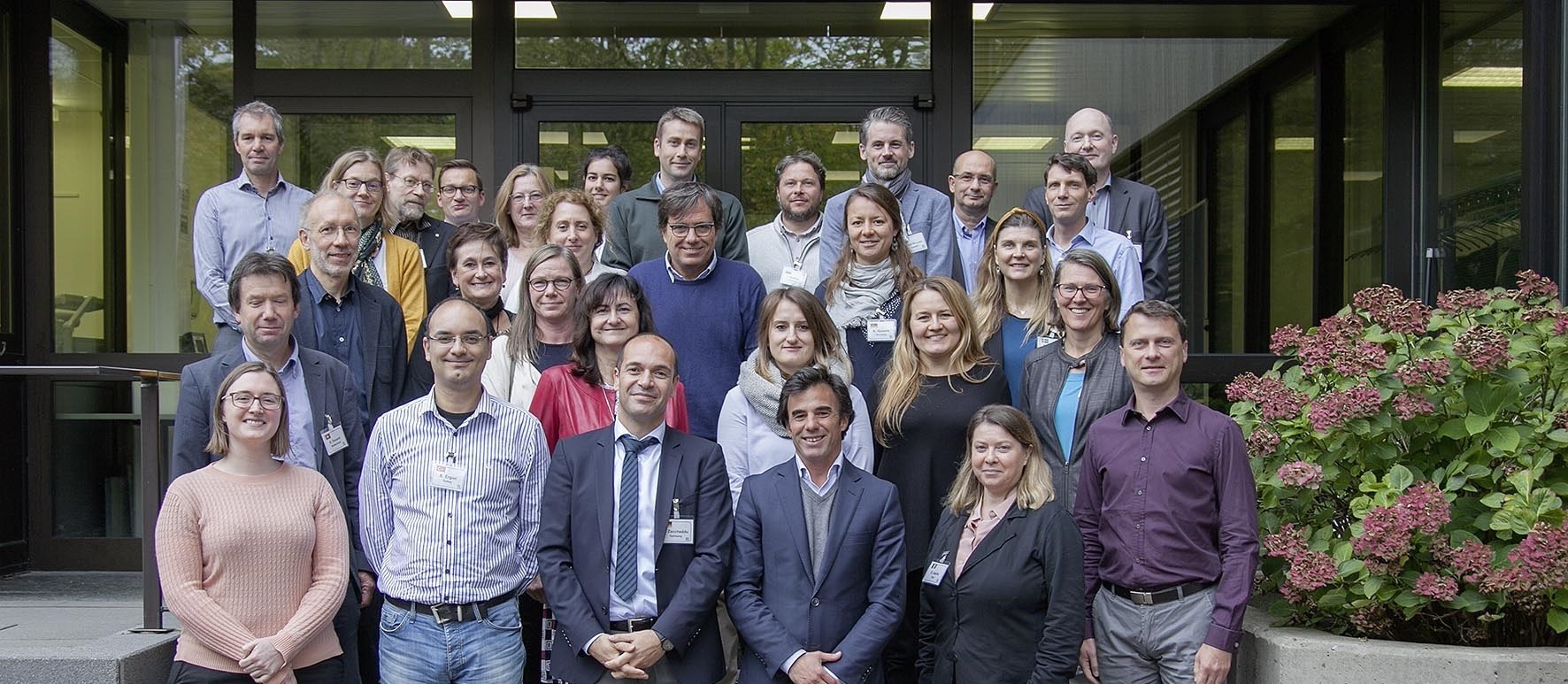
The Working Group on Data Integration is chaired by Germany and deals with the integration of geospatial data with other information. Currently National Mapping and Cadastral Authorities and National Statistical Institutes from about 20 European UN Member States are members of this Working Group. Eurostat and the Joint Research Center (JRC) actively cooperate in the Work Group since the beginning in 2014. The European Environment Agency (EEA) joined the Work Group in 2017.
Relevance of Data Integration Line of Work 2025

Relevance of Data Integration Line of Work

Open PDF

Survey Analysis

Open PDF

Work Plan 2023: Data Integration - webinar series

Past UN-GGIM Event
07 Nov 2023
Webinars

Webinar - Linked Data in the European spatial data infrastructure – an operational view

More info
Past UN-GGIM Event
19 Jun 2023
Webinars

Webinar - The way towards a Geospatial Knowledge Infrastructure

More info
Past UN-GGIM Event
15 Mar 2023
Webinars

Webinar - Data integration in Europe – A perspective on challenges, findings, added value and cost savings in the EU context

More info

Work Plan 2019-2022: Data Integration - deliverables on computing SDG indicators and data integration methods

Subgroup-I ScopingPaper v1.0

Open PDF

Subgroup-II ScopingPaper v1.0

Open PDF

Subgroup-II DataIntegrationMethods

Open PDF

Guidelines for SDG Indicator Calculation - Overarching Conclusions

Open PDF

Guidelines for SDG Indicator Calculation - 11.2.1 Proportion of population that has convenient access to public transport, by sex, age and persons with disabilities

Open PDF

Guidelines for SDG Indicator Calculation - 11.3.1 Land consumption rate to population growth rate

Open PDF

Guidelines for SDG Indicator Calculation - 15.1.1 Forest area as a proportion of total land area

Open PDF

Guidelines for SDG Indicator Calculation - 15.3.1 Proportion of land that is degraded over total land area

Open PDF

Evaluation of the Webinar Paving the way for new markets Challenges and recommendations

Open PDF

Work plan 2017-2019: Data Integration – deliverables on policy outreach and SDG indicator analysis

UNGGIM-Europe Report Evaluation PolicyPaper

Open PDF

Leaflet - An Informed World

Open PDF

The integration of statistical and geospatial information — a call for political action in Europe2019

Open PDF

The territorial dimension in SDG indicators: geospatial data analysis and its integration with statistical data

Open PDF

Questionnaire to promote data integration for policy outreach

Open PDF

Discussion- SDG 15.1.1 Forest area as a proportion of total land area

Open PDF

SDG 15.1.1 Forest area as a proportion of total land area

Open PDF

Discussion- SDG 11.7.1 Average share of built-up areas of cities

Open PDF

SDG 11.7.1 Average share of built-up areas of cities

Open PDF

Discussion- SDG 11.3.1 Ratio of land consumption rate to population growth rate

Open PDF

SDG 11.3.1 Ratio of land consumption rate to population growth rate

Open PDF

Discussion- SDG 11.2.1 Proportion of population that has convenient access to public transport

Open PDF

SDG 11.2.1 Proportion of population that has convenient access to public transport

Open PDF

Read me first

Open PDF

Work plan 2014-2017: Data Integration – deliverables on priority user needs, methods and side-effects

UN-GGIM: Europe Deliverable Sub-Working Group B3 – "Report of the Work Group Data Integration about how to manage side-effects induced by data combinations" Ver1.0

Open PDF

UN-GGIM: Europe Deliverable Sub-Working Group B2.2/2.3 – "The methods of implementing the prioritised combinations of data: Provide best practice guidance to the interactions between NMCAs/NSIs/Environmental Agencies and other relevant organisations. Review current use of data from multiple sources to identify case studies and best practices relevant for combinations with core data"

Open PDF

UN-GGIM: Europe Deliverable Sub-Working Group B.2.1 – "The methods of implementing the prioritised combinations of data: Review of current European Interoperability Frameworks and geospatial and statistical integration projects regarding methods of combinations of data"

Open PDF

UN-GGIM: Europe Deliverable Sub-Working Group B1 – Annex II to Report SWG B1 on Priority User Needs ver 1.1

Open PDF

UN-GGIM: Europe Deliverable Sub-Working Group B1 – "Data Integration – Definition of priority user needs for combinations of data"

Open PDF

UN-GGIM: Europe
+32 2 888 71 93
Rue du Nord 76, 1000 Bruxelles
76 Noordstraat, 1000 Brussel

Email us

LinkedIn
  • ABOUT
  • Mandate
  • Executive Committee
  • UN-GGIM: Europe Secretariat
  • Members
  • Observer Organisations
  • WORKING GROUPS
  • UN-GGIM Frameworks
  • Geodesy Supply Chain
  • Data for Global Agendas
  • NEWS
  • EVENTS
  • Plenary Meetings
  • Joint Meetings
  • Webinars
  • CONTACT
© 2026 UN-GGIM: Europe
  • Privacy Notice
  • Terms of Use
  • Cookies policy
Supported by